Each route represents months of fieldwork, documenting where light falls, where wildlife patterns emerge, and where compositions reveal themselves to patient photographers. These aren't generic travel guides. They're strategic intelligence for capturing Canadian landscapes at their most compelling.
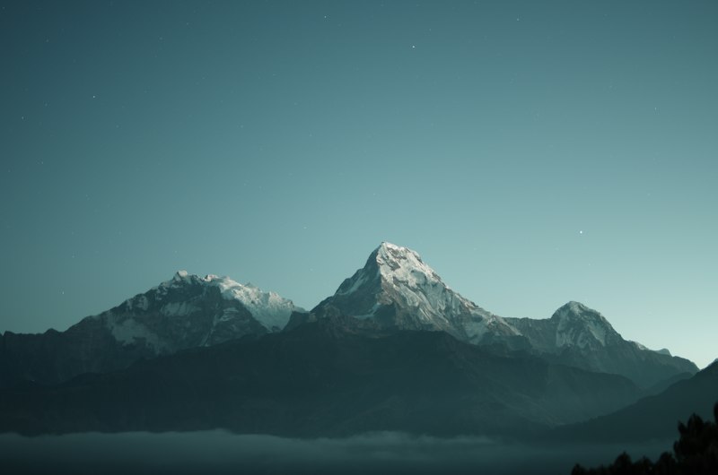
Rocky Mountain Dawn Circuit
Seven strategic vantage points across Banff and Jasper. Timed for optimal morning and evening light across glacial lakes and peak formations. Includes altitude considerations, seasonal weather patterns, and wildlife activity schedules.
- Detailed GPS coordinates for each position
- Hour-by-hour light quality analysis
- Seasonal timing recommendations
- Equipment suggestions per location
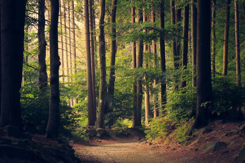
Pacific Rainforest Trail
Old-growth forests, coastal fog patterns, and moss-covered terrain in British Columbia's temperate zones. Best captured during wet seasons when textures intensify.
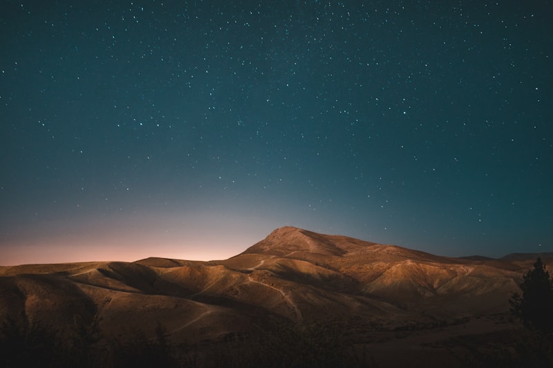
Atlantic Coastal Arc
Lighthouse positions, cliff formations, and tidal patterns along Nova Scotia's rugged shoreline. Includes tide tables and storm tracking guidance.
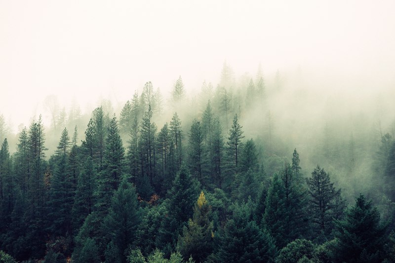
Northern Lights Pathway
Carefully selected dark-sky locations across Yukon and Northwest Territories. Includes seasonal aurora activity mapping, weather pattern analysis, and foreground composition options for each site.
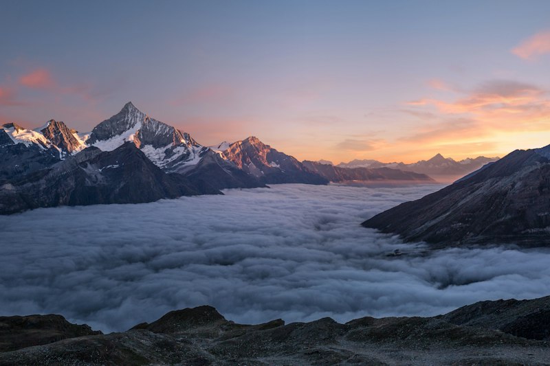
Prairie Sky Route
Vast horizons and dramatic cloud formations across Saskatchewan and Alberta. Best for storm photography and sunset compositions. Includes radar interpretation guide.
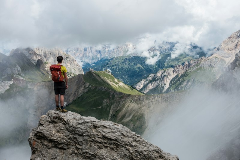
Eastern Fall Expedition
Quebec and Ontario's autumn transformation. Mapped around peak color weeks, including lesser-known rural roads and conservation areas.
Access Your Selected Route
Choose a route above to receive comprehensive mapping and timing data.